
How Waze for ships is changing the way we navigate
With input from users, the OptiRiver platform collects accessible river depth data and generates real-time updated waterway charts.
No one knows the waterways better than the pilots who navigate them every day on board ships. These essential logistics professionals are often restricted in their actions as they are obliged to navigate according to the draft determinants issued by the government.
In the case of the Paraná Trunk Waterway (VTN), where 90% of Argentine exports leave, this limitation is imposed by the fluvial bulletins issued daily by the Undersecretariat of Ports and Waterways of the Nation and executed by the Naval Prefecture as enforcement authority.
Due to lack of resources and the bureaucracy of the system itself, the information on draft determinants in these bulletins does not necessarily reflect the reality of something as dynamic and changing as the river.
In times of information technology and access to data in real time, this archaic system impacts on the pocket of the producer and exporter who should be the main recipient of the logistics.
For example, if the Fluvial Bulletin obliges to navigate at 33 feet of draft when the reality of the river shows the existence of 34 feet, the Argentine export misses to load a foot in the ships. If it is taken into account that for each foot of draft a Handy vessel carries 1,300 tons, a Handy Max 1,600 tons or a Panamax 2,000 tons, the damage and the extra cost due to higher freight directly affects Argentine competitiveness.
In this scenario, if the 4,500 vessels of this type that circulate annually through the waterway stop loading three thousand tons each, the Argentine export will have to hire about 180 more vessels for those 6.7 million tons. In money terms, this implies an extra payment of u$s 234 million in freight for the export for that single foot of draft, which would double to u$s 468 million if it were two feet, something that is not at all unreasonable to happen.
Technological answer
The solution to this problem has been found by a pilot. He is Kris De Decker, a professional who provides services in the Belgian port of Antwerp, one of the busiest in Europe.
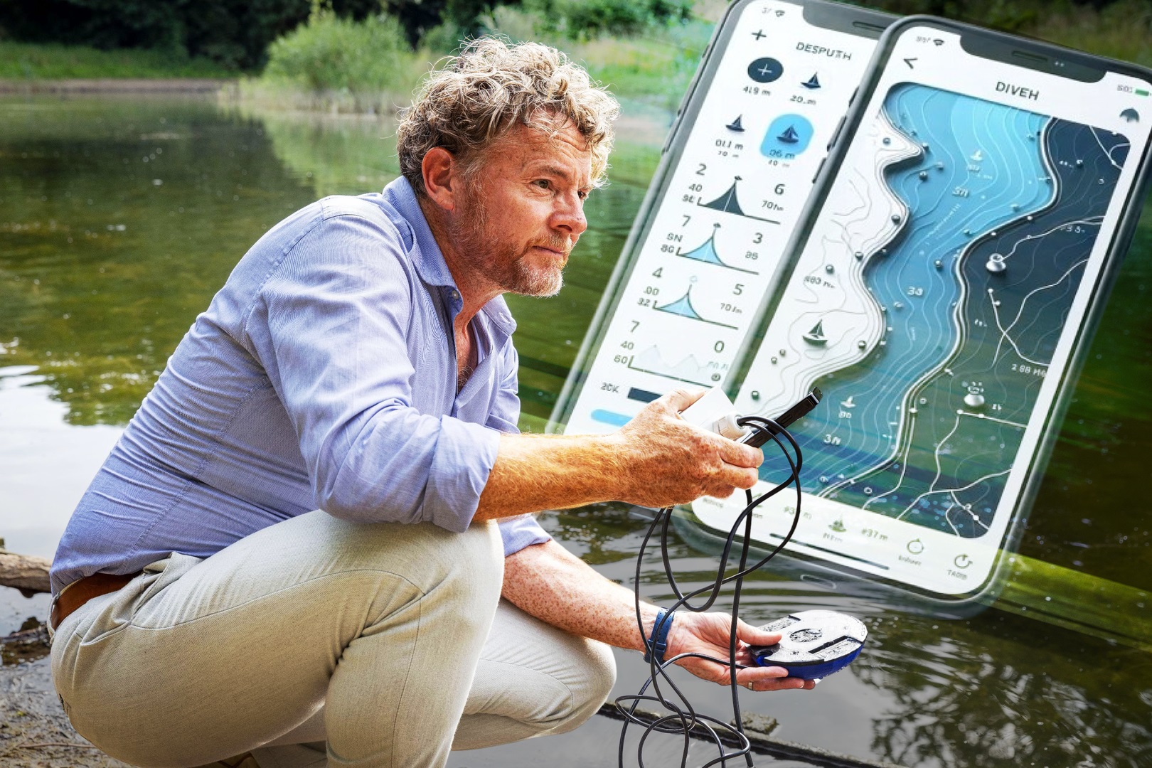
Similar to what happens with Waze, where motorists share in real time the incidents that occur on routes and roads, De Decker devised the OptiRiver application to navigate safely through canals and rivers.
Once the system is installed on board, the vessels in navigation perform the depth sounding in real time and share it with the other vessels, thus obtaining a real-time status and increasing profits through faster and safer river transits.
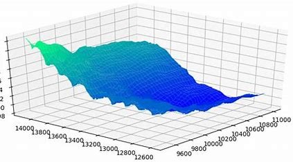
Also, and with the uploaded data, graphs and depth averages can be produced for all sections of the waterway.
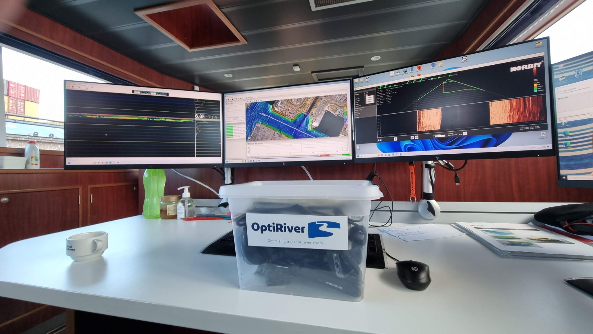
"We are proud of the successful validation test of OptiRiver in the port of Antwerp. With the help of the port's hydrographic survey team the OptiRiver Bathybox sensor was validated on board a survey vessel. We are proud to be the first company in the world to address inland waterway navigation quickly and cost-effectively," Kris De Decker told Transport & Cargo.
The expert added that "the OptiRiver kit, which was used for the validation test, is designed to optimize inland waterway transport by enabling rapid updates to river charts using affordable and accurate depth sensor technology. This successful test will pave the way for more efficient and sustainable transportation in the future."
Key points
With a strong focus on real-time river mapping and safe navigation OptiRiver presents itself as an affordable platform, easy to install on vessels, and with immediate results.
The service ranges from depth sounding to real-time navigation.
"This scheme is based on community participation and capacity building. Our technology can be deployed within days and start producing valuable navigation data from the outset. At low cost, the latest advances in depth sounding and data collection are utilized. Why risk accidents and financial ruin if this platform can help navigate waterways safely?" highlighted De Decker.
There are environmental gains as well. By advocating the use of inland waterway transport, which is more energy efficient and less carbon emitting than road or rail alternatives, OptiRiver significantly helps to minimize the environmental footprint of the maritime industry.


